Drummond Island, Michigan

DI-Where the UP Ends and the Adventure Begins!
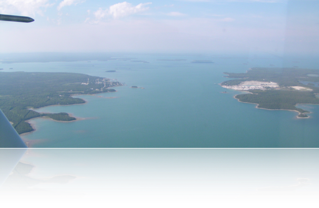
This is a picture from about 3000FT MSL of the St. Mary’s River which bridges the gap between the Eastern-most end of the Upper Penninsula of Michigan and the Western-most edge of Drummond Island taken on July 6th, 2007 at approximately 18:00 EDT.
Click on one of the below to explore:
The World of Drummond Island